Chapter I
1. How it all started.
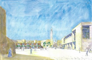
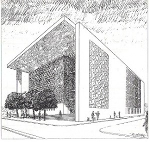
Sketched perspective of the culture building from in front of the Nativity Church towards the Omar Mosque. The Pavilion/cafeteria which was deleted from the program can be seen to the left of the mosque in the background.
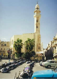
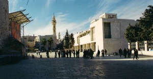
Muslims in prayer in front of Omar Mosque. They are now so numerous that they can not fit inside the mosque.
2. “Why just Sweden?”
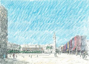
The sketched perspective of the competition proposal shows a makeshift in front of the police station in the form of market stalls with overhead grandstands. Lateral screens are rolled up at the Millennium Celebration processions.
3. Israel and Palestine, reflections.
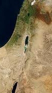
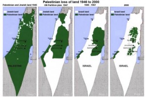
Palestinian land losses from 1946 to 2000, Four maps. 1) Situation before 1947. 2) The UN partition plan. 3) The years from 1949 - 1967. 4) Year 2000.
4. The City of Bethlehem.
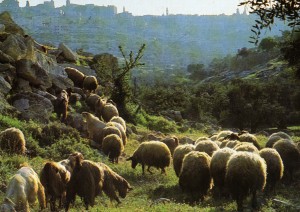
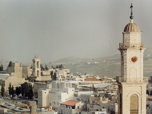
Shepherds driving their flocks of sheep are a common sight in the city. Bethlehem's skyline in the background.
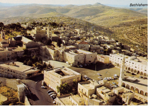
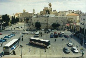
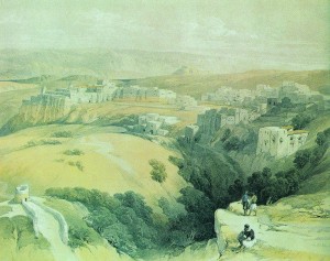
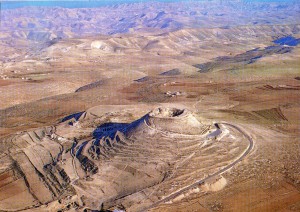
Manger Square with surroundings on an old postcard. The roof of the Nativity Church can be clearly spotted, and also the police station that was demolished. On the horizon you can see Herod's fortress stick up like a top.
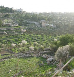
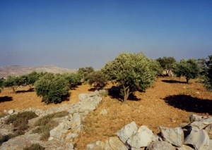
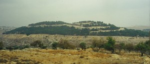
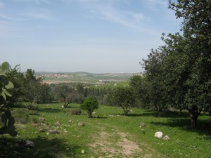
Valley with "the shepherds' lands" and cultivation terraces with flowering almond trees and olive trees.
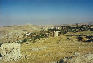
South of Bethlehem. The ruins was towers from where one guarded the surrounding vineyards. The landscape dries out and dies.
5. The People of Bethlehem.
6. The Nativity Church and Manger Square.

Muslims in prayer in front of Omar Mosque. They are now so numerous that they can not fit inside the mosque.
Chapter II
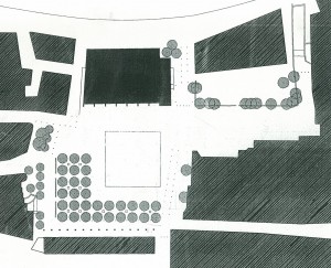
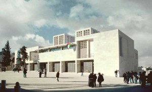
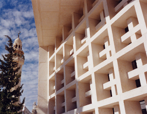
7. A description of the house of culture and the new square.
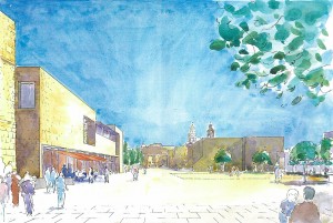
Sketched perspective of the culture building and the square in the direction of the Nativity Church.
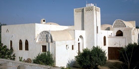
The buildings Hassan Fathy designed for common people are in a state of disrepair after the Mubarak era. He also designed some beautiful palaces for rich people who appreciated his building, like this.
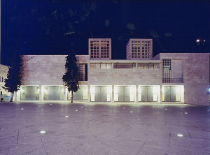
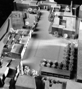
Wooden model of the square and the culture building, made by model carpenter Stig Viktorsson in Stockholm.
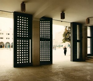
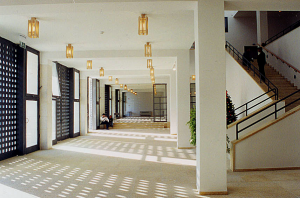
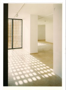
(FIND IMAGE 47. Upper hallway) Upper hallway. Photo by ML.
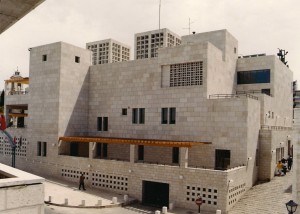
"Back side" of the culture building. Garage Entrance gate at the bottom, above a terrace for the administration premises.
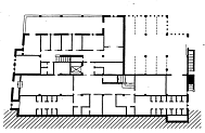
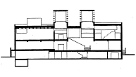
The level under the plaza level contains administration offices, a small garage and toilets for visitors.
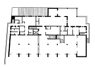
The plaza level. The left extension of the Entrance hall consists of a restaurant and to the right of tourist information and a bookstore. Inside the hall is the restaurant kitchen and rooms for children activities with separate entrances.
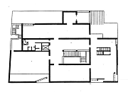
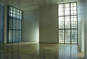
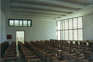
The top level with art galleries and to the left an auditorium. A small exhibition room towards the "back side" leads to a terrace from where there is a view to e.g. the hill Jibril Abu Ghneim.
(FIND IMAGE 57. The lantern) Model in small scale of the lantern that was intended to be suspended above the entrance of the Nativity Church.
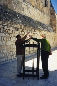
Full-scale dummy of the lantern to be suspended above the entrance as a test. Jamal Araj (see paragraph 8) helps Erik Möller.
8. Work in Bethlehem.
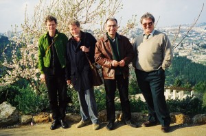
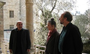
The first visit for the Swedish team. From the left Erik Möller, me, Karim Raileanou and our Palestinian architect Ramzi Kawar in front of blooming almond trees, with Jerusalem in the background.
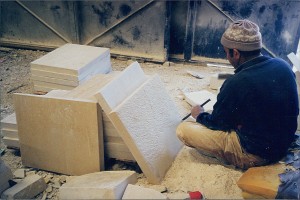
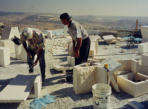
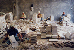
9. World champions in stone masonry, excellent smithworks and more travels.
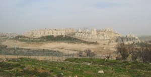
(FIND IMAGE 71. Workers with raised spades) Cheers to the culture building soon being finished? Wrong, tribute to Saddam Hussein. The Hill Jibril Abu Ghneim seen in the background.
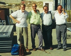
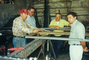
The trip to the repair shop near Nazareth. Me, the garage owner, Ramzi and Michael. Beside me a stack of steel gates for the culture building.
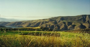
Peaceful scenery that we passed near the border to the by Israel from Syria conquered Golan Heights. Jordan's only fresh water reservoirs can be glimpsed in the valley.
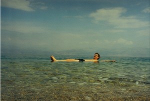
Erik tries the density of the chemical solution of the Dead Sea. It is much more concentrated because the Jordan River inflow declined dramatically - Israel takes most of it.
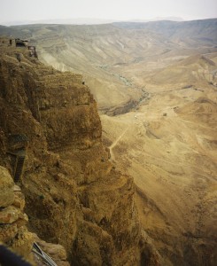
View from the Masada rock plateau. You can with a little effort discern the ramp that the Roman army built to reach the top.
10. An archaeological discovery and a burst water pipe that could have ruined the timing of the project and caused Sweden great embarrassment.
11. My extra assignment as the city’s pessimist.
Chapter III
12. The journey for a High Court in Gaza and one in Ramallah.
13. Israel's army invades Bethlehem.
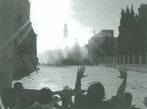
The Israeli army goes to attack against those who have taken shelter in the Nativity Church. The picture is taken from the entrance. The culture building is seen in the background.
14. Reporting for Sweden's Architects.
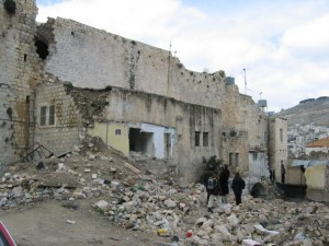
The Stone Mound in the picture had been a three hundred year old manufacturing plant for the manufacturing of the famous olive soaps of Nablus. But now hit by grenades. Israel clearly intends to lay the Palestinian heritage into gravel. The Army camp looming forward on the height.
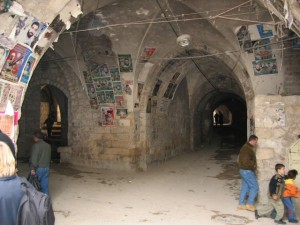
The arch covered streets, hideout for the Palestinian armed resistance. The vault protects from discovery from the air. Killed insurgents are honored with "martyr" pictures on the walls posters.
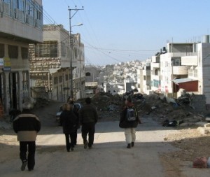
Hebron's city center is off limits for "unauthorized". With the advice from the Jerusalem-Palestinian taxi driver we managed to get over the blockage unseen on foot. The pile on the street is placed there by the Israelis to cut off Palestinian traffic to the surrounding road network, which is exclusively for Jews and Jerusalem-registered cars.
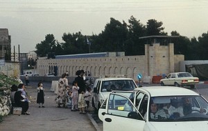
Rachel's Tomb in Bethlehem, mentioned in the Bible, was for centuries revered in perfect harmony by both Christians, Muslims and Jews. The tomb was annexed by Israel immediately after the Oslo accords in defiance of the agreement, which aroused the outraged protests from the Palestinians. A wall was built against Hebron Road as protection for the alleged exclusive Jewish ownership, with an armed watchtower. A settler family visits the grave to perform their religious duty to mark its Jewishness.
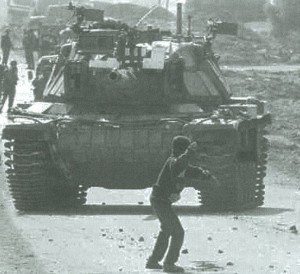
This photo, taken by AP photographer Laurent Rebours, has become a symbol of the Palestinian resistance. The boy, whose name was Faris`Odah, was murdered by an Israeli sniper a few days after the picture was taken. This happened in Gaza, but it could just as well have happened on Hebron Road in Bethlehem.
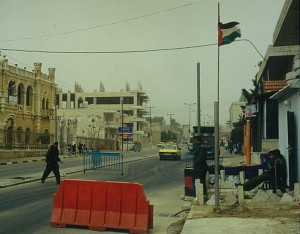
Armed Palestinian outpost on Hebron Road near Rachel's Tomb. This view was something new. Whose security are they protecting?
15. Epilogue.
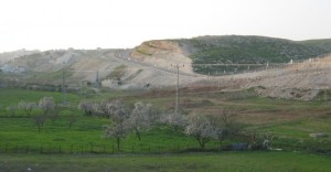
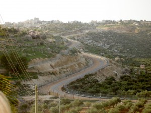
What does the future hold? The separation barrier at Beit Sahour, east of Bethlehem, brusquely sears the sacred landscape.
Extra images.

